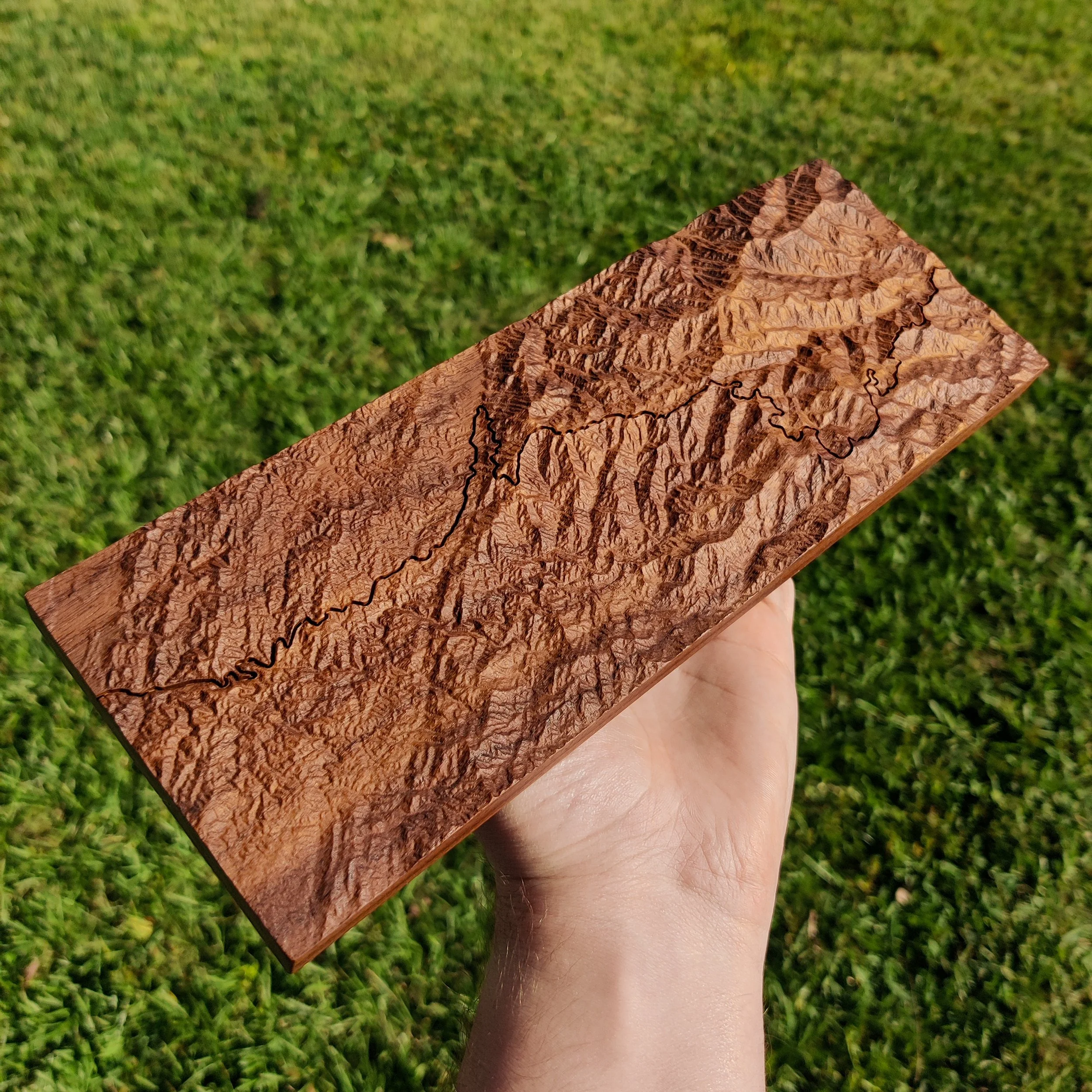
Cherohala Skyway - Togue Topo Map
Cherohala Skyway - Togue Topo Map
***PLEASE READ FULL DESCRIPTION***
After creating the Tail of the Dragon map, I knew my next map needed to be Cherohala Skyway. The Skyway starts from nearby Robbinsville, NC and ends at Tellico Plains, TN and it has an amazing elevation range from 930ft to 5,390ft which is shown off in the contours of this topo map! These maps are milled out of solid walnut and oiled with my favorite finish, Rubio Monocoat.
By purchasing this item, you are signed up for the pre-order. My other items are shipped within 1-3 days, but this map may take a couple weeks to ship, depending on: material availability, how many map orders I have, or time I have to mill them. These maps take much longer to make than my brass items in both milling time, and in finishing. Feel free to email me at Sales@BuiltbyHutch.com or message me @BuiltbyHutch on Instagram to find out the current wait time.

